 IDEUy
IDEUy
fortnightly
Type of resources
Available actions
Topics
Keywords
Contact for the resource
Provided by
Formats
Representation types
Update frequencies
status
Scale
Resolution
-
This dataset is the definitive set of locality boundaries for the state of Victoria as defined by Local Government and registered by the Registrar of Geographic Names. The boundaries are aligned to Vicmap Property. This dataset is part of the Vicmap Admin dataset series.
-
This dataset is the definitive set of locality boundaries for the state of Victoria as defined by Local Government and registered by the Registrar of Geographic Names. The boundaries are aligned to Vicmap Property. This dataset is part of the Vicmap Admin dataset series.
-
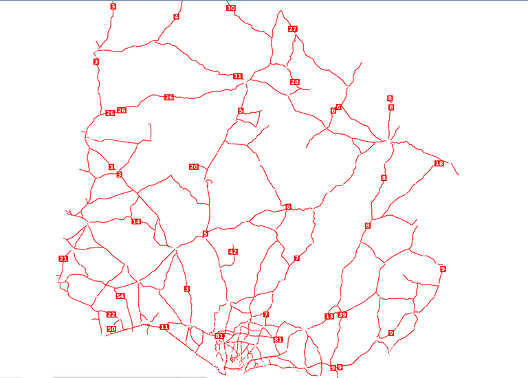
Capa vectorial de ejes de calle a nivel nacional, elaborada por la Infraestructura de Datos Espaciales del Uruguay (IDE), partir de imágenes del vuelo aerofotogramétrico realizado entre 2017 y 2018, así como de múltiples fuentes oficiales y no oficiales verificadas.
-
Producto vectorial generado en el marco del vuelo aerofotogramétrico de la localidad de Minas en el año 2025, a partir de la grilla urbana elaborada para el proyecto Vuelo Aerofotogramétrico 2017–2018.